Wednesday, 15 May 2013
New cross/mtb route
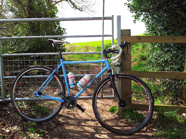
These are some pics i took recently on a recce of a new route i've been planning to do for a while now. I started looking for a new bike route when i got my new Samsung smart phone, which gave me access to some great mapping apps with OS Explorer on them. My local riding is not bad really with some decent woodsy trails like Hanchurch woods only a 20 min ride away, but even linking up with some farm tracks its only good for short 1-3 hr blasts and i wanted to see if i could link up something bigger. As it turns out there are quite a few bridleways (bridleways are tracks where its legal for bikes & horses to ride) and farm tracks that link up pretty good with some forest trails I haven't ridden before.
This first recce has given me a round trip of 45 km with the outward leg being mostly off road. From Loggerheads, where I headed back on this first trip I will carry on due south next time and head up a bridleway, which will take me up to some woods called Bishops wood. On the map It looks about the same size as Hanchurch and im expecting the trails to be similar. The tracks on the outward leg to Bishops wood are great with a mix of wooded singletrack paths, farm tracks and some field crossings. The wooded singletracks look to be ancient pathways to me as they are sunken with dense wooded sides and have obviously been in use a very long time. The only negative I could say really is the amount of gates, but unfortunately in the UK you can't go far when your out in the sticks without crossing a few gates. One other thing to note is that when I did the ride we hadn't had much rain so the ground was firm in most places but there were a couple of boggy bits, that would probably be ankle deep when wet. The full route will probably be around 65-70 km with a 50-50 mix of road & off road, but there's certainly scope to stretch it out a bit further to maybe 100 km to make it a real lung busting monster ride !
I have been impressed with the Maverick app as it only cost about £1.50 ! It gives you access to several mapping databases, but the most useful here in the UK is the Ordanance Survey 1/50, 000 & 1/25.000 Explorer maps which are quite expensive on other apps where you have to buy the individual tiles, so its a genuine bargain. You can record grid refs, altitude, latitude, longtitude, time of last fix, bearing and all the other usual things like speed, avg and max. By sharing to google maps you can also get your stats for altitude loss/gain. I've not been able to share my Strava files to it but Google tracks are compatable. There is only one problem that i can see i might have trying to record the whole route ? Battery power ! The Samsung S2 has a pretty weak battery, running out about a km from home, although i was running my Strava app at the same time which I won't do next time, so fingers crossed I can record the whole route. So now im just looking out for a good day weather wise and getting some miles in so it's not too much of a lung/leg killer.
Wish me luck...
Subscribe to:
Posts (Atom)


